

Local Weather
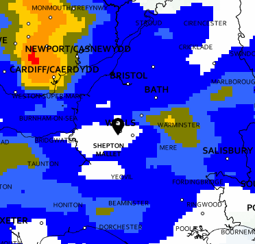
Here are a few sites we use to (attempt to!) forecast the weather at Halesland. Gliding is a sport that’s extremely dependent on appropriate weather with some specific conditions required to really get the best out of the day. Halesland’s position on the ridge can give rise to very localised weather conditions so we’d advise you not to rely too much on these forecasts. We quite regularly see heavy rain and cloud in the valley below (and on the forecasts) yet the elevated position of the airfield means that we remain dry. Equally, sometimes we can see clear conditions around us but stubborn cloud on the hillside known as Orographic cloud will prevent us from launching. Even when the cloud/rain conditions are perfect the wind strength and direction will also affect our launch so even on a clear day we may not be able to fly.
The only real way to see conditions at the airfield is to be at the airfield (or have a look at our handy webcam…), if you have a trial flight booked we would normally advise you to call before travelling so we can confirm conditions are flyable.
-
Met Office
Regional and local forecasts, weather warnings and weather maps.
-

Windy.com
Compare multiple forecast models, weather information and airgram charts.
-

RASP
Gliding specific forecasts showing thermals and wind speeds.
The clubs location near the ridge means that in a steady or strong south westerly winds, you can expect good ridge soaring. It also means that, due to the airfield orientation, on a good ridge day you must be able to handle a medium to strong cross wind takeoff and landing. In these conditions, expect moderate to strong curl-over and associated wind shear on landing. For this reason, most pilots will be expected to take a check flight if flying for the first time in these conditions.
Wave can be expected to occur in various conditions at Halesland, notably westerly and northerly. Westerly wave, triggered by the Welsh massif and experienced as secondary wave fronts, is sometimes relatively weak. Northerly wave can be difficult to exploit due to the airfield topology, although it can be very good. Southerly wave will occur, but exploiting it is likely to lead to conflict with the controlled airspace of Bristol International’s ATZ. Easterly wave is not normally encountered, there being few trigger sources east of the site.
Strong north easterly winds make operations difficult due to the site layout and the duty instructor may well suspend flying on these conditions.
Thermal activity occurs all around the site and you can expect it to gradually increase in intensity as you move to the east of the site - i.e. further inland.